● DEfinitive guide ● Stoney 1
Stoney 1, Calgary
Explore Stoney 1, Calgary: Dynamic Commercial Connectivity Meets High-Paced Modern Logistics and Suburban Convenience in the Northeast Foothills. Discover expansive business corridors, connected environmental greenways, and seamless airport access. Perfect for logistics professionals, corporate executives, active commuters, and modern households!
Living in Stoney 1, Calgary
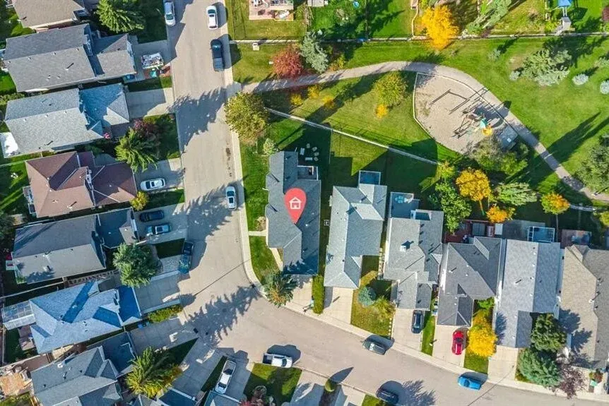
Living in Stoney 1 offers a unique, highly connected lifestyle characterized by modern master-planned architecture, exceptional regional mobility, and close proximity to major economic centers in Calgary’s expanding Northeast sector. Bounded by major expressways and defined by wide, landscaped boulevards, Stoney 1 balances clean-lined architectural aesthetics with continuous pedestrian and cycling infrastructure. The streetscapes are designed to accommodate both high-capacity logistics throughput and pedestrian safety, featuring paved pathway connections that link office campuses, retail plazas, and environmental stormwater reserves.
Daily life in Stoney 1 is energized by an industrious, fast-paced rhythm where corporate executives, tech professionals, and aviation workers enjoy minimal commute times and immediate access to essential services. Walkability within localized micro-pockets allows residents and workers to comfortably stroll from corporate suites and residential pockets directly to dining options, fitness facilities, and service plazas without relying heavily on personal vehicles throughout the day. The overall atmosphere strikes a balance between a high-efficiency commercial and logistics sanctuary and an accessible, modern urban district.
— Contents
Where is Stoney 1?
Overview
Business & Jobs
Education
Where to live?
public transportation
restaurants & local shops
what to do in Stoney 1?
Where is Stoney 1?
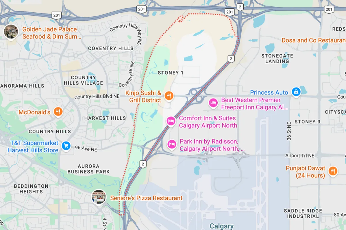
Stoney 1 is strategically located in the far North-Northeast sector of Calgary, Alberta. The neighborhood is geographically bounded by Stoney Trail NE (Highway 201) to the north, Country Hills Boulevard NE to the south, Metis Trail NE to the east, and Deerfoot Trail NE (Highway 2) along with the Calgary International Airport (YYC) perimeter to the west. These major perimeter expressways place Stoney 1 at the geographical heart of North Calgary’s primary transport grid.
In terms of regional access, Stoney 1 offers efficient connectivity for frequent travelers, distribution managers, and corporate commuters. Calgary International Airport is located immediately west, reachable within a 5-to-7-minute drive via Barlow Trail or Freeport Boulevard. Reaching Downtown Calgary takes approximately 20 minutes by car heading south via Deerfoot Trail or Barlow Trail. Furthermore, regional travel to Airdrie, Red Deer, or Edmonton is straightforward via Deerfoot Trail North, while Stoney Trail provides a direct, uninterrupted bypass toward Highway 1 and the Rocky Mountains.
Overview
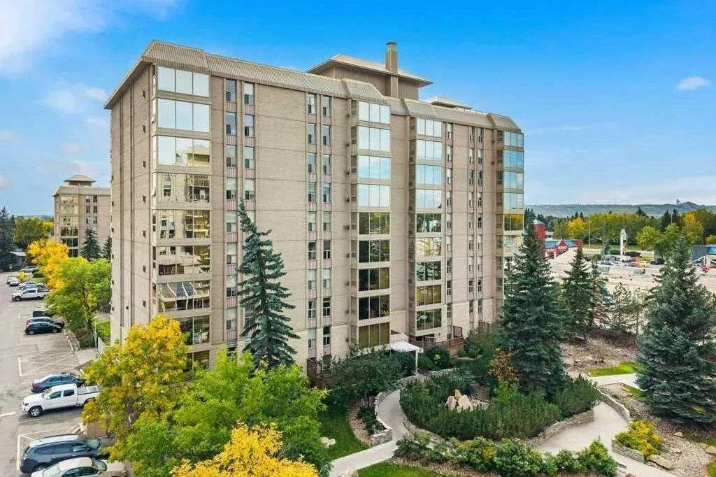
Stoney 1 represents a modern model of industrial and commercial urban planning in Western Canada, engineered around transportation efficiency, structural durability, and integrated business infrastructure. Spanning hundreds of acres of gentle prairie terrain, the district incorporates dedicated environmental greenbelts, naturalized retention basins, and wide setbacks that manage stormwater runoff while maintaining visual appeal along major roadways. Architectural guidelines across Stoney 1 emphasize contemporary commercial design, featuring tilt-up concrete structures, glass curtain walls, masonry accents, and neutral earth tones that harmonize with the open prairie skyline.
The land-use layout in Stoney 1 is diverse, accommodating corporate headquarters, state-of-the-art warehousing, high-tech distribution centers, and commercial service plazas, alongside adjacent modern residential developments in surrounding North Calgary sectors. A defining element of Stoney 1’s structural footprint is the integration of flexible commercial spaces, accommodating light industrial operations, corporate offices, and retail showrooms. Combined with immediate access to regional highways and hotel accommodations, Stoney 1 delivers an integrated environment where logistics, commerce, and daily urban conveniences function cohesively.
Business and Jobs
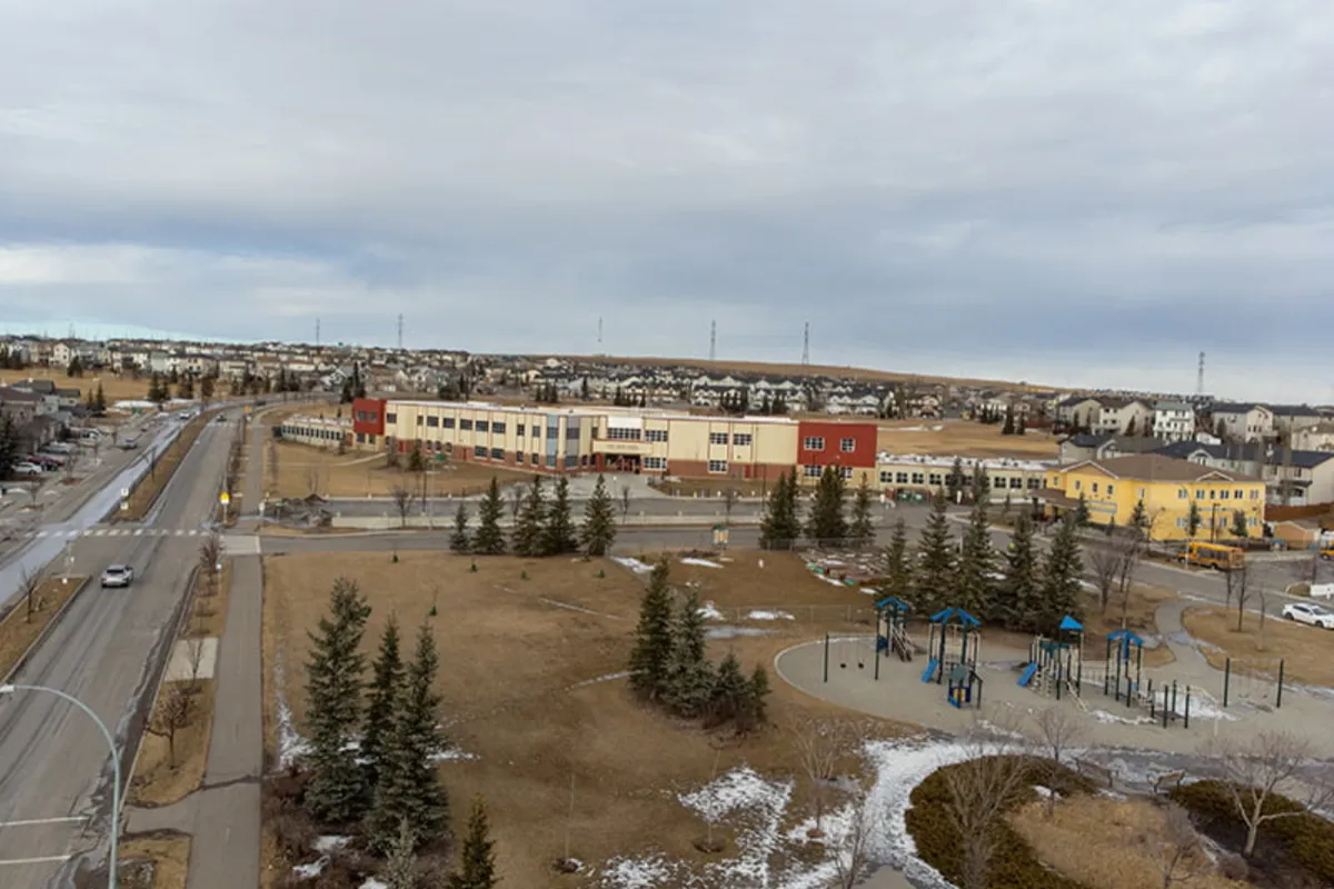
Stoney 1 stands as one of Calgary’s most vital and fast-growing employment nodes, generating thousands of positions across corporate logistics, supply chain management, aviation technology, engineering, and commercial hospitality. The district encompasses major business campuses such as Stonegate Landing, Freeport Business Park, and District 114, hosting global freight operators, corporate offices, regional distribution facilities, and light manufacturing firms. These commercial hubs provide employment opportunities ranging from executive management and IT support to industrial operations and logistics management.
For professionals working within Stoney 1 or commuting to neighboring business districts, transit and driving times are exceptionally efficient. Commuting to Downtown Calgary’s core business sector takes approximately 20 minutes outside of peak hours via Deerfoot Trail. Additionally, the district's direct integration with Calgary International Airport makes it a prime base for aviation executives and flight crew personnel. Surrounding commercial corridors along Country Hills Boulevard and Sunridge also provide quick access to additional retail, medical, and professional service jobs.
Education
Families associated with Stoney 1 benefit from established educational pathways located across neighboring residential communities in North and Northeast Calgary, such as Saddle Ridge, Redstone, Cornerbrook, and Coventry Hills. Public elementary students attend designated feeder campuses including Hugh A. Bennett School or Coventry Hills School, which offer modern instructional environments and sports fields. Public middle school students attend Peter Lougheed School or Nose Creek School, while high school students are designated to Nelson Mandela High School or John G. Diefenbaker High School, both known for academic programs, vocational training, and Advanced Placement (AP) courses.
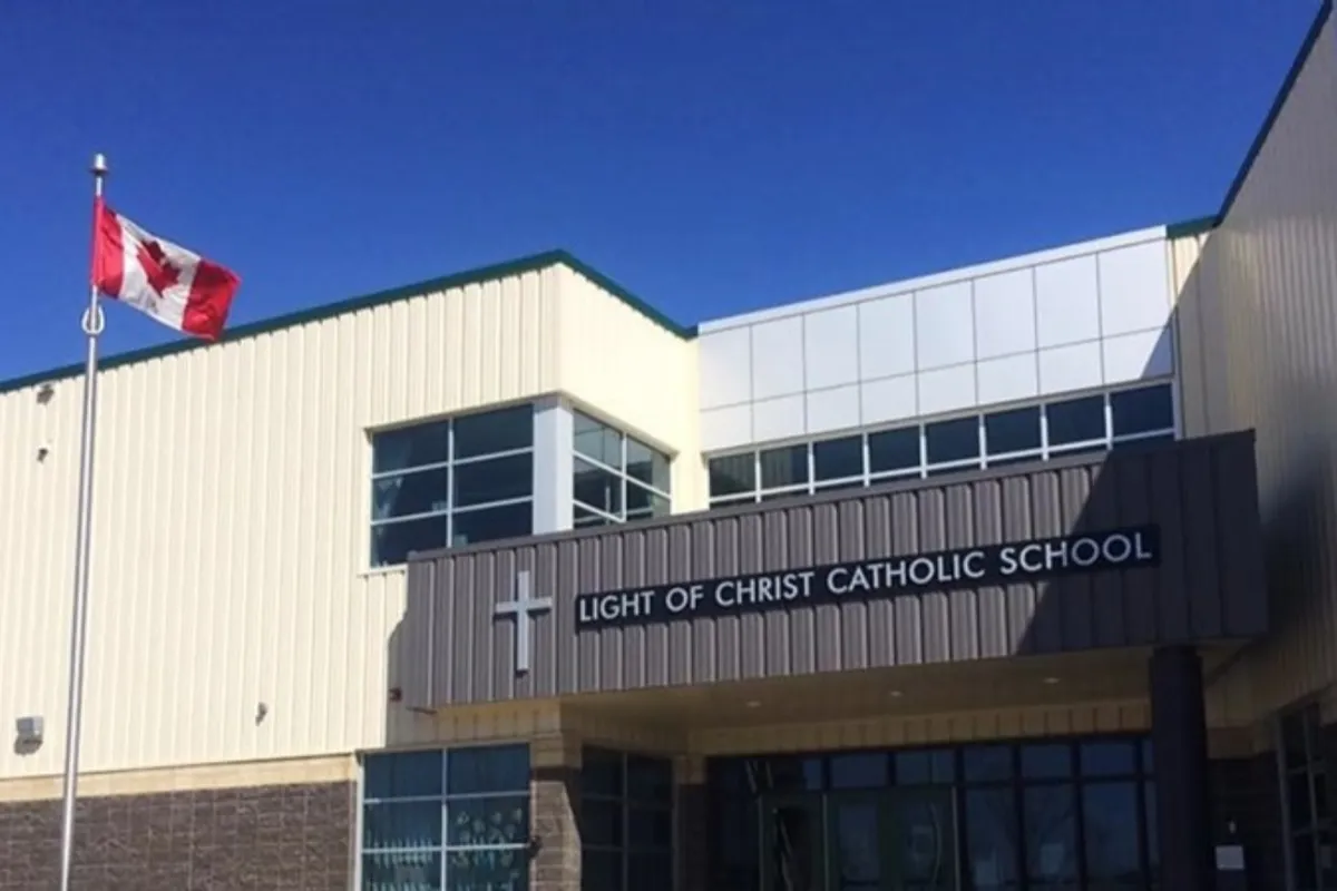
Catholic educational choices are equally accessible in nearby residential districts. Elementary and junior high students attend Light of Christ School or St. Clare School, providing faith-based learning within a short commute. Catholic high school students attend Notre Dame High School, situated just minutes west along Country Hills Boulevard. For post-secondary education and specialized technical training, students enjoy direct vehicular and transit connections via Deerfoot Trail and Metis Trail to SAIT (Southern Alberta Institute of Technology), University of Calgary, and Bow Valley College.
Where to Live?
Stonegate Commercial & Executive Micro-Pocket
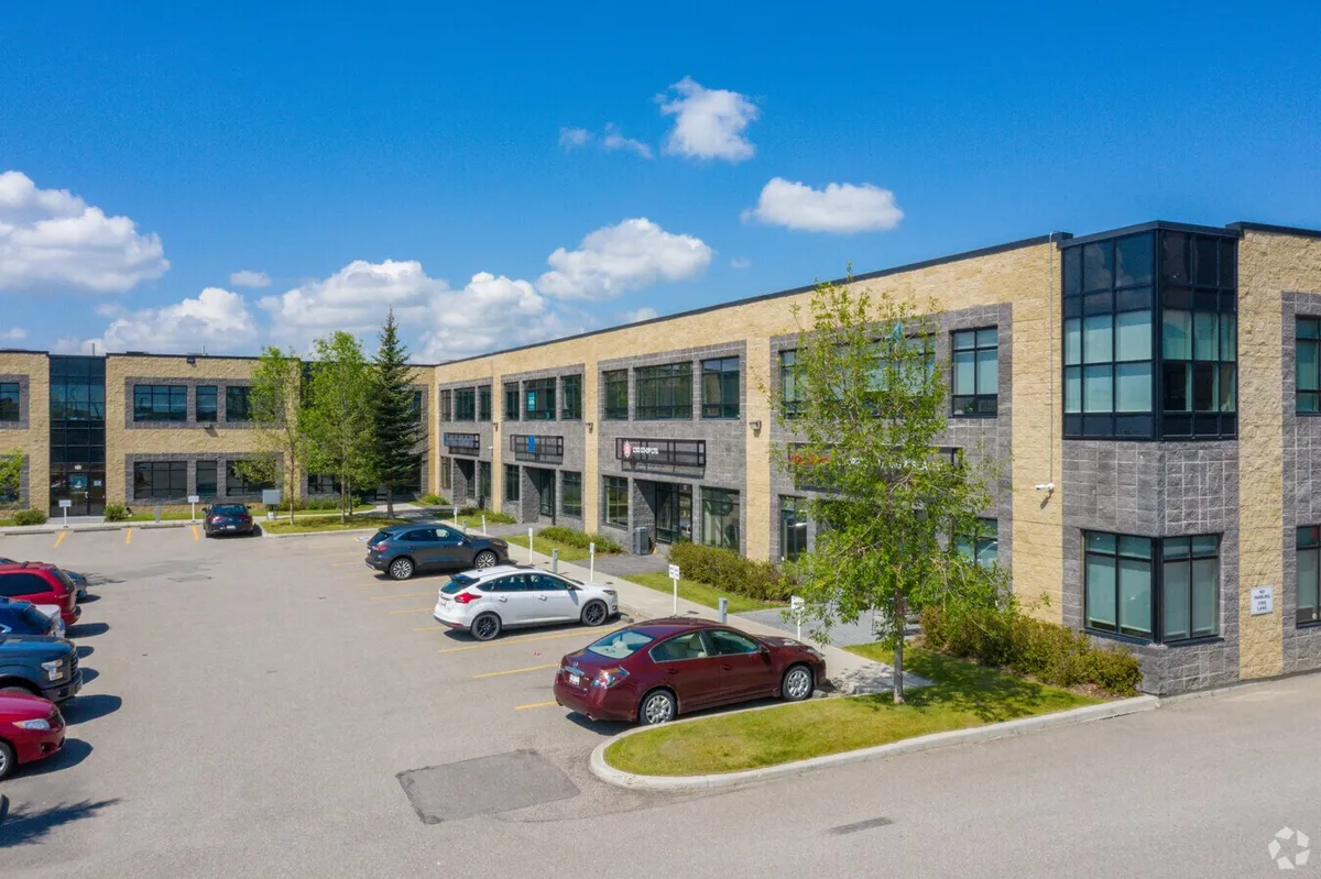
Centered near Stonegate Landing along 114th Avenue NE, this high-density business pocket offers close proximity to modern corporate suites and extended-stay executive accommodations. Designed for corporate transferees, logistics managers, and short-term professionals, it provides immediate walkability to commercial plazas, fitness centers, and transit stops.
Freeport North Parkway Sector
Located along Freeport Boulevard NE near the airport perimeter, this quiet commercial pocket features low-rise flex-office spaces and light industrial complexes. It appeals to aviation personnel and corporate operators seeking immediate access to airport terminals, quiet streetscapes, and streamlined vehicular exits onto Deerfoot Trail.
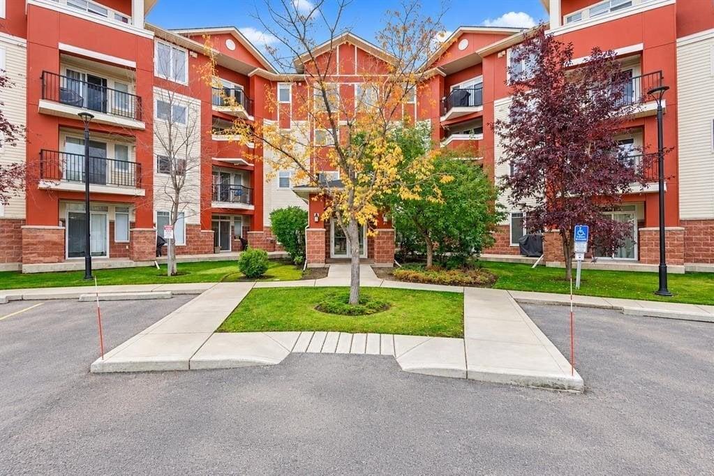
Country Hills East Gateway
Positioned along the southern boundary at Country Hills Boulevard NE and Metis Trail, this sector bridges Stoney 1 with the residential communities of Saddle Ridge and Redstone. It offers quick access to residential housing styles, ranging from laned single-family homes to townhomes, catering to families who want to live within a 5-minute drive of their Stoney 1 workplace.
Public Transportation
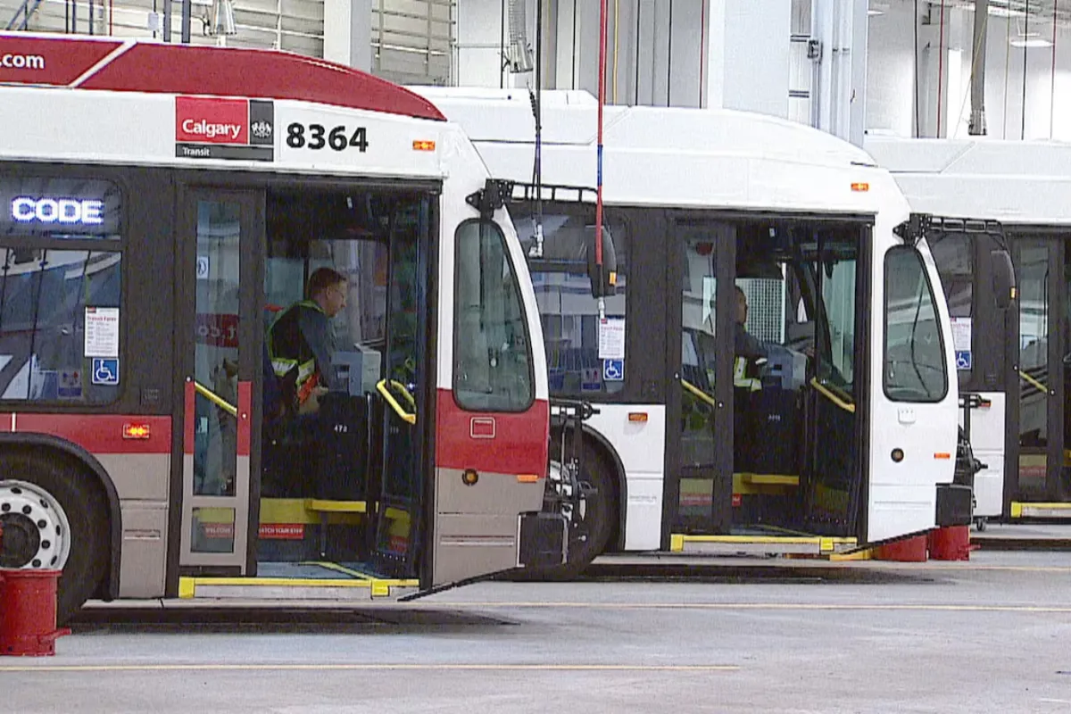
Public transit infrastructure in Stoney 1 is operated by Calgary Transit, offering localized bus routes that connect the industrial and commercial parks to major transit hubs and residential communities. Key feeder routes, including Route 100 (Airport / Northpointe) and Route 430 (Northpointe / Sandstone), run along primary thoroughfares such as Barlow Trail NE, 114th Avenue NE, and Freeport Boulevard. These routes provide direct transit access for shift workers, corporate employees, and area visitors throughout the week.
For regional travel across Calgary, local bus routes connect directly to the Northpointe Transit Centre and the Saddletowne CTrain Station (LRT Blue Line). Saddletowne Station offers high-speed, direct rail service into Downtown Calgary, NE medical centers, and post-secondary campuses. Furthermore, long-term municipal transit planning includes enhanced Bus Rapid Transit (BRT) service along the Stoney Trail corridor and future light rail links connecting Calgary International Airport directly with the city’s rail transit network.
Restaurants & Shops
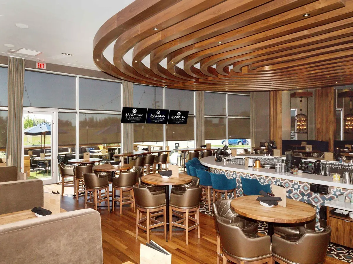
Chop Steakhouse & Bar Calgary Airport (2604 39 Ave NE / Freeport Corridor)
A premier dining establishment located near the southwestern perimeter of the district. Known for serving aged steaks, fresh seafood, handcrafted cocktails, and fine wines in a sophisticated, modern atmosphere, it is a top choice for business lunches and corporate dinners.
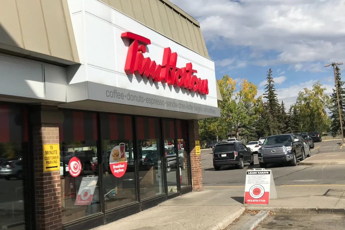
Tim Hortons (11520 Freeport Blvd NE)
A essential fast-casual destination located in the heart of the Freeport business zone. Offering freshly brewed coffee, specialty hot beverages, breakfast sandwiches, and baked goods, it serves as a daily stopping point for local employees and commuters.
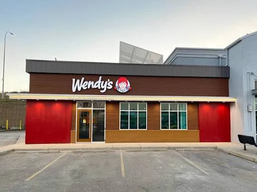
Wendy's (11400 Barlow Trail NE)
A popular fast-food restaurant situated along the active Barlow Trail commercial strip. Featuring classic flame-broiled burgers, chicken sandwiches, fresh salads, and Frosty desserts, it provides a quick and convenient lunch option for district workers.
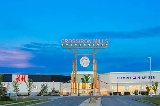
CrossIron Mills (261055 Crossiron Blvd - 8 minutes North)
A massive regional shopping destination located just minutes north of Stoney 1 via Deerfoot Trail. Featuring hundreds of brand-name outlets, dining options, and entertainment venues, it serves as the primary retail hub for employees and residents in the Stoney area.
What to do in Stoney 1?
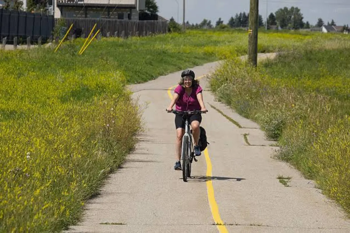
Cycle the Rotary/Mattamy Greenway (Stoney Trail NE Section)
Stoney 1 connects directly into Calgary’s 138-kilometer continuous pathway network. Cyclists, runners, and walkers can step onto the paved trail along the northern edge of the district for long-distance training or scenic outdoor exercise with open prairie views.
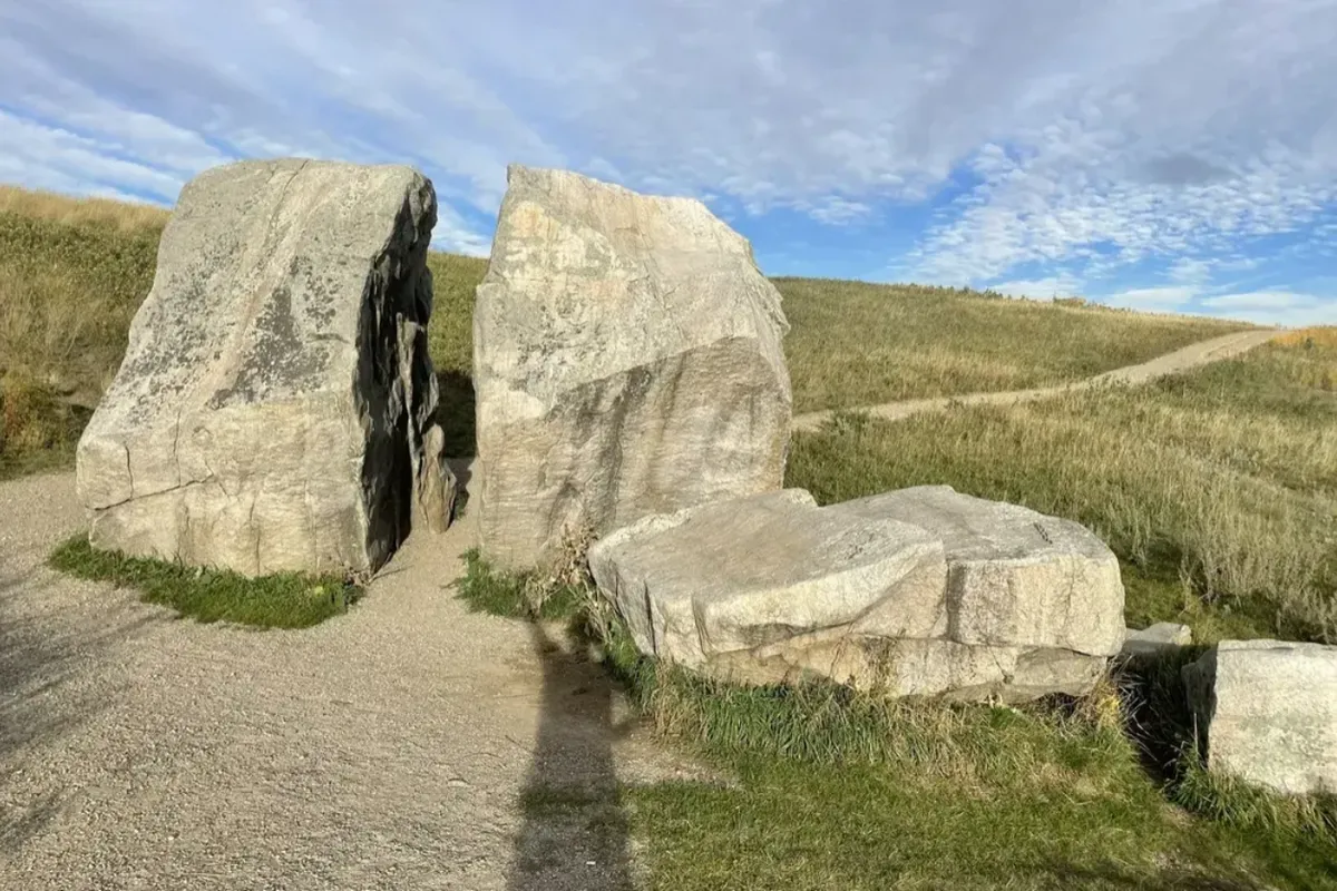
Explore Nose Creek Pathway Network (Deerfoot Trail / Barlow Link)
Located just west of the district perimeter, this scenic pathway winds along Nose Creek, offering paved trails, wooden bridge crossings, and naturalized green spaces ideal for morning workouts or evening walks.
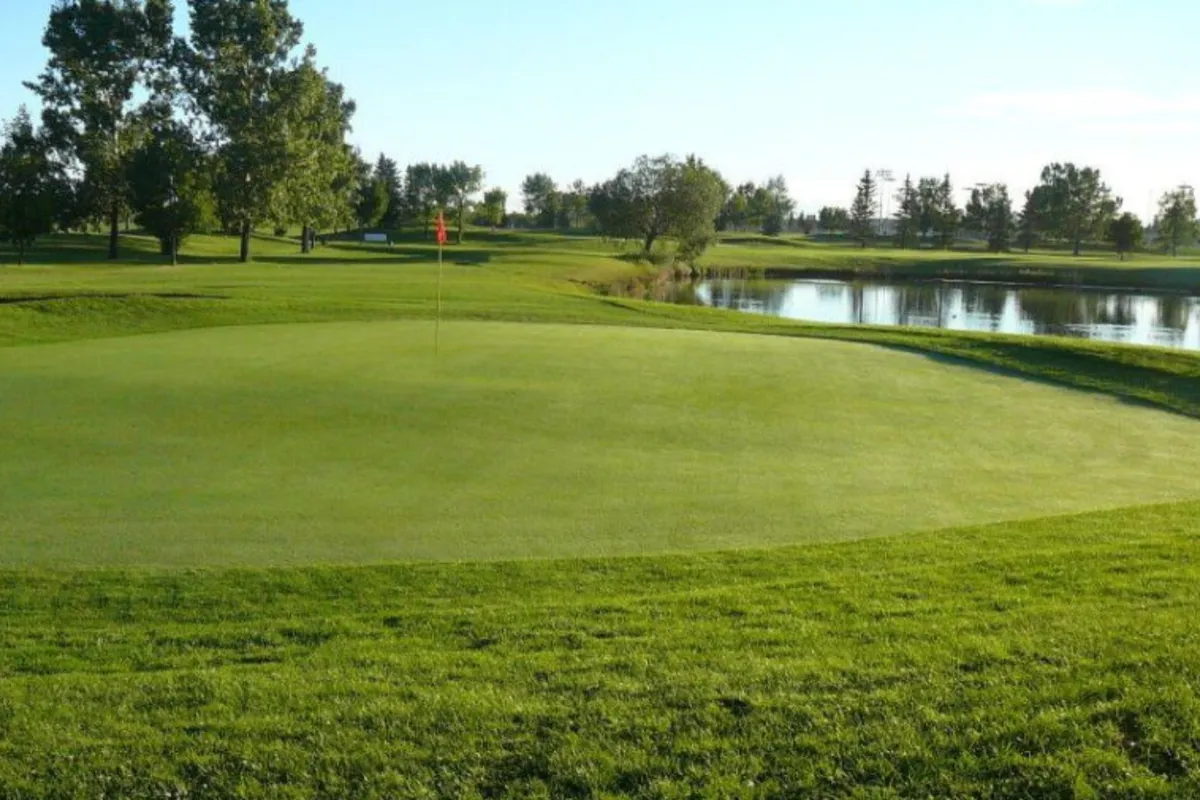
Golf at McCall Lake Golf Course (3600 12 St NE)
Situated a short drive south of Stoney 1, this public golf facility features an 18-hole main course, a 9-hole par-3 course, a driving range, and clubhouse dining, offering a convenient recreation option for local professionals.
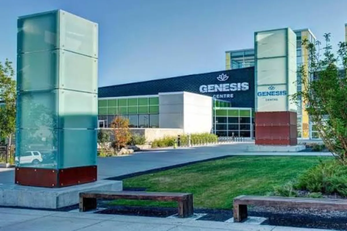
Recreate at Genesis Centre (7555 Falconridge Blvd NE)
Located just 8 minutes southeast of Stoney 1, this 250,000-square-foot community complex features indoor soccer turf, gymnasium courts, a fitness center, event halls, and a Calgary Public Library branch.
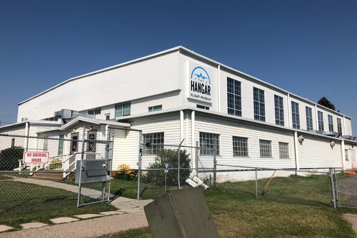
Visit the Hangar Flight Museum (4629 McCall Way NE)
Located near the adjacent airport grounds, this aviation museum showcases historical aircraft, interactive aviation exhibits, and Western Canadian aviation history, making it an engaging educational spot for families and visitors.
─ Let's Connect
Ready to Find
Your Perfect Pocket?
Every neighborhood has a rhythm. Let’s talk about which one matches your lifestyle, your commute, and your future.