● DEfinitive guide ● Stoney 2
Stoney 2, Calgary
Explore Stoney 2, Calgary: Premier Industrial Innovation and High-Paced Commercial Logistics in the Northeast Corridor. Discover state-of-the-art corporate warehouses, bustling automotive hubs, connected greenway trails, and immediate access to Calgary International Airport. Perfect for logistics executives, tech-industrial operations, active commuters, and modern workforce professionals!
Living in Stoney 2, Calgary
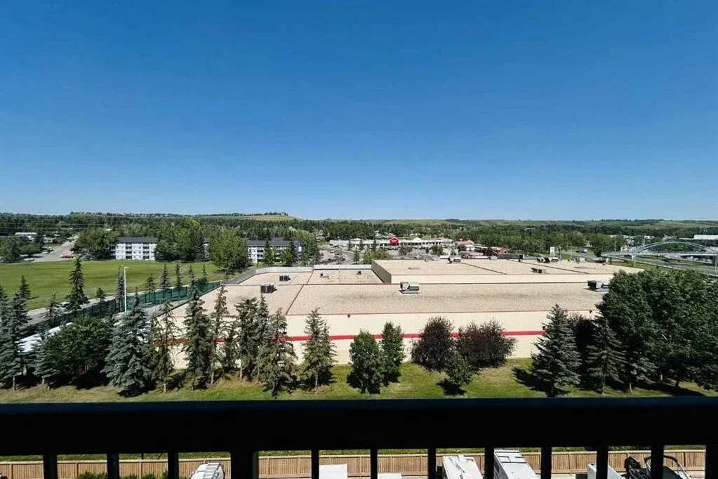
Living in Stoney 2, Calgary offers a uniquely dynamic and highly connected lifestyle characterized by modern commercial planning, high-efficiency logistics infrastructure, and immediate regional mobility in Calgary’s thriving Northeast sector. Bounded by high-capacity transport corridors, Stoney 2 balances state-of-the-art commercial architecture with wide, landscaped boulevards and integrated pedestrian infrastructure. Streetscapes are meticulously engineered to handle high-capacity logistics transport while maintaining safety and accessibility for walking and cycling, featuring continuous paved pathways that link corporate headquarters, industrial flex spaces, and naturalized stormwater retention basins.
Daily life in Stoney 2 is defined by a fast-paced, productive energy where corporate leaders, supply chain specialists, skilled technicians, and aviation professionals enjoy minimal commute times and immediate access to essential retail, automotive, and dining services. Walkability within localized commercial nodes allows workers and nearby residents to comfortably stroll from corporate suites to casual lunch spots, fitness facilities, and service plazas without needing a car for every mid-day task. The overall vibe strikes a perfect harmony between a high-efficiency industrial powerhouse and a well-connected, modern suburban business district.
— Contents
Where is Stoney 2?
Overview
Business & Jobs
Education
Where to live?
public transportation
restaurants & local shops
what to do in Stoney 2?
Where is Stoney 2?
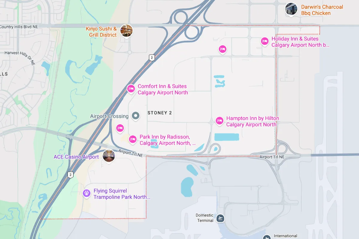
Stoney 2 is strategically located in the Northeast quadrant of Calgary, Alberta. The industrial and commercial district is geographically bounded by Stoney Trail NE (Highway 201) to the north, Country Hills Boulevard NE to the south, 15th Street NE and the Skyview Ranch / Stonegate Landing area to the east, and Barlow Trail NE along with the Calgary International Airport (YYC) perimeter to the west. These major perimeter expressways place Stoney 2 directly at the core of North Calgary’s primary distribution grid.
In terms of regional access, Stoney 2 offers exceptional drive times for logistics operations, corporate travelers, and regional commuters. Calgary International Airport is located immediately adjacent to the west, reachable in under 8 minutes via Barlow Trail NE or Airport Trail NE. Reaching Downtown Calgary takes approximately 20 minutes by car heading south via Deerfoot Trail or Barlow Trail. Furthermore, direct access to Stoney Trail NE provides an uninterrupted orbital route west toward Highway 1 and the Rocky Mountains or north toward CrossIron Mills, Airdrie, and Edmonton.
Overview
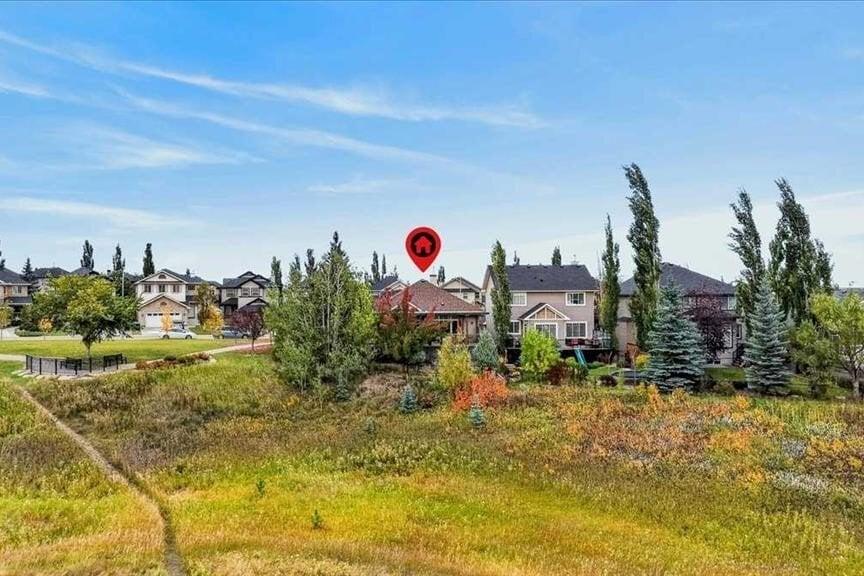
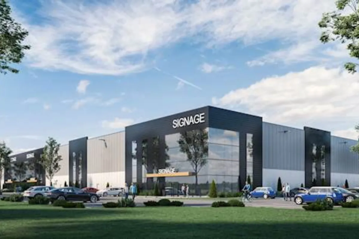
Stoney 2 represents a leading model of modern industrial urban planning in Western Canada, engineered specifically around supply chain efficiency, high-grade structural design, and integrated commercial land use. Spanning hundreds of acres of flat prairie topography, the district features dedicated environmental buffer zones, naturalized stormwater basins, and wide road setbacks that effectively manage runoff while creating a clean, professional aesthetic. Architectural guidelines across Stoney 2 emphasize sleek contemporary industrial design, utilizing tilt-up concrete panels, extensive glass curtain walls, masonry details, and neutral earth tones that present a polished corporate profile.
The functional layout in Stoney 2 encompasses high-tech distribution facilities, light manufacturing units, automotive dealerships, corporate headquarters, and service retail plazas, alongside easy access to adjacent residential neighborhoods in North Calgary. A defining feature of Stoney 2’s structural footprint is the prevalence of flexible flex-industrial spaces, equipped with high clear ceiling heights, dock loading bays, motion-sensored LED illumination, and heavy electrical infrastructure to accommodate tech and logistics users. Combined with immediate proximity to major freight corridors and hotel accommodations, Stoney 2 delivers a self-sustaining commercial environment where commerce, workforce convenience, and regional distribution operate in complete harmony.
Business and Jobs
Stoney 2 stands as one of Calgary’s most vital commercial economic engines, generating thousands of positions across logistics, transportation, automotive sales and service, electronics distribution, corporate management, and commercial construction. The district encompasses primary business corridors along 15th Street NE and 100th Avenue NE, hosting major national logistics firms, corporate office parks, equipment suppliers, and specialized trade companies. These commercial facilities provide diverse employment opportunities ranging from supply chain management and industrial engineering to trade services and retail operations.
For professionals working within Stoney 2 or commuting to nearby employment zones, travel times are exceptionally fast. Commuting to Downtown Calgary’s central corporate core typically takes 20 minutes outside peak traffic hours via Deerfoot Trail. Additionally, the district's direct connectivity to Calgary International Airport makes it an ideal base for aviation personnel, air freight operators, and international corporate offices. Surrounding commercial corridors along Country Hills Boulevard NE and Deerfoot City also offer quick access to additional retail, medical, and hospitality employment.
Education
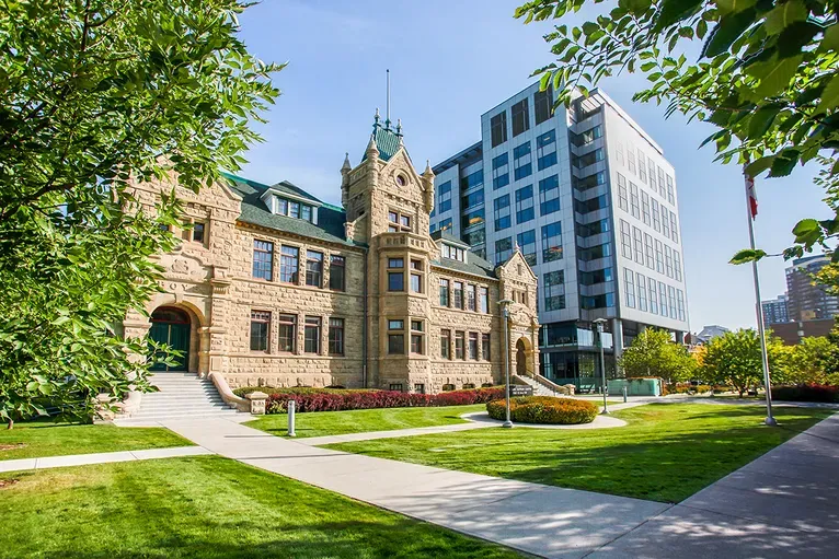
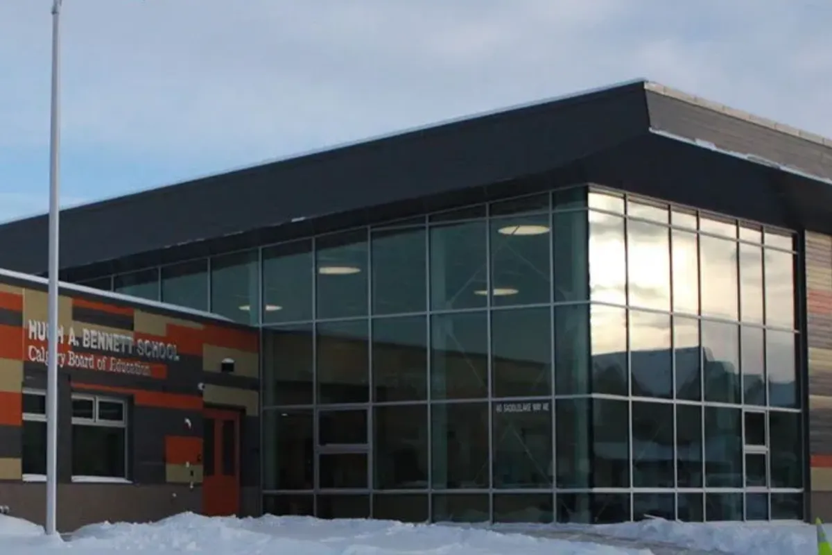
Families living in or near Stoney 2 benefit from established educational pathways located across adjacent residential communities in Northeast and North Calgary, including Skyview Ranch, Saddle Ridge, Redstone, and Coventry Hills. Public elementary students attend designated feeder campuses such as Hugh A. Bennett School or Coventry Hills School, which offer modern classrooms, sports fields, and strong academic fundamentals. Public middle school students attend Peter Lougheed School or Nose Creek School, while high school students are designated to Nelson Mandela High School or John G. Diefenbaker High School, both celebrated for academic excellence, vocational training, and Advanced Placement (AP) programming.
Catholic educational choices are equally convenient in neighboring residential communities. Elementary and junior high students attend Light of Christ School or St. Clare School, providing faith-based learning within a short commute. Catholic high school students are designated to Notre Dame High School, located just minutes west along Country Hills Boulevard. For post-secondary education and specialized technical training, students enjoy direct transit and driving routes via Deerfoot Trail and Metis Trail to SAIT (Southern Alberta Institute of Technology), University of Calgary, and Bow Valley College.
Where to Live?
Country Hills East Gateway
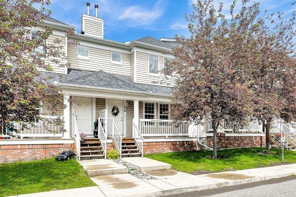
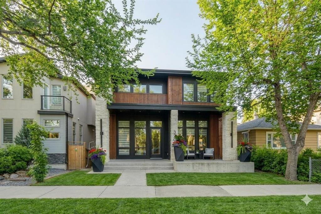
Positioned along the southern border along Country Hills Boulevard NE, this sector connects the commercial core of Stoney 2 with neighboring residential communities like Skyview Ranch and Saddle Ridge. It offers housing options ranging from modern laned single-family homes to stylish townhomes, ideal for workforce professionals seeking a 5-minute commute to work.
15th Street Commercial & Flex District
Centered along 15th Street NE, this high-efficiency commercial pocket features modern industrial suites and flexible office-warehouse spaces. Designed for business owners, logistics managers, and tech-industrial operators, it provides immediate walkability to service plazas, banking kiosks, and local dining options.
Public Transportation
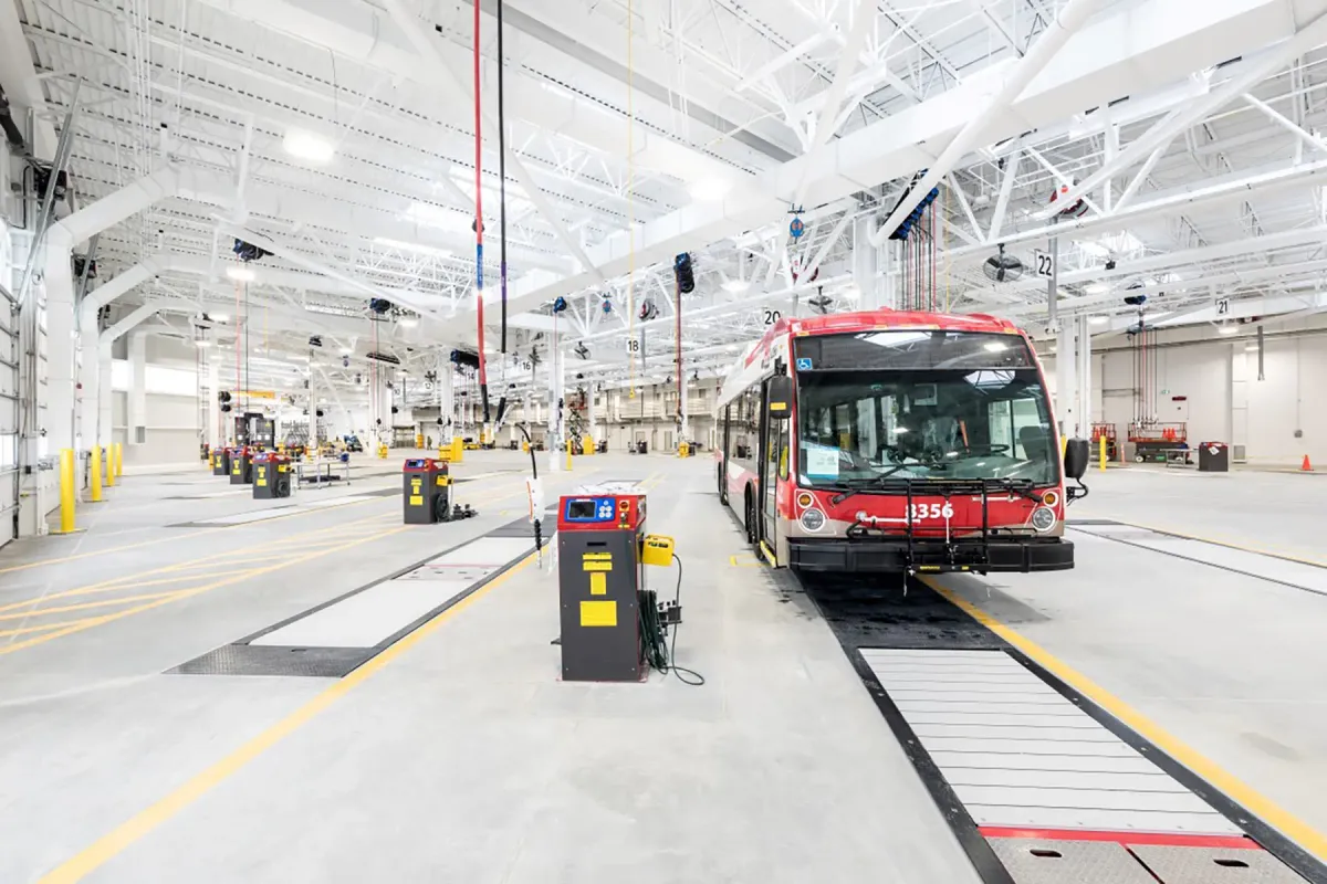
Public transit infrastructure in Stoney 2 is provided by Calgary Transit, offering reliable local bus routes that connect the industrial and commercial sectors with major transit hubs and residential communities. Key feeder routes, including Route 100 (Airport / Northpointe) and Route 430 (Northpointe / Sandstone), run along primary thoroughfares such as Barlow Trail NE, Country Hills Boulevard NE, and 15th Street NE. These routes provide consistent transit access for shift workers, office employees, and area visitors throughout the day.
For regional travel across Calgary, local feeder buses connect directly to the Northpointe Transit Centre and the Saddletowne CTrain Station (LRT Blue Line). Saddletowne Station provides high-speed rail transit into Downtown Calgary, NE medical centers, and post-secondary campuses. Furthermore, long-term municipal transit expansion plans incorporate future Bus Rapid Transit (BRT) and airport rail connections, ensuring that Stoney 2 remains seamlessly connected as Calgary's transportation network evolves.
Restaurants & Shops

Country Hills Nissan (2451 Country Hills Blvd NE)
A flagship automotive dealership and service center anchoring the southern perimeter of Stoney 2. Known for its state-of-the-art showroom, comprehensive vehicle maintenance facility, and professional staff, it provides local business owners and residents with trusted automotive sales and service.
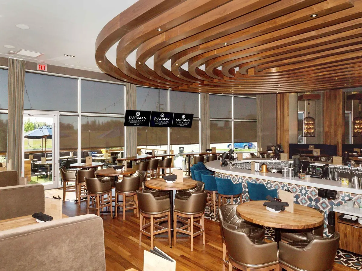
Chop Steakhouse & Bar Calgary Airport (2604 39 Ave NE / Freeport Corridor)
A premier dining destination located near the southwestern perimeter of the district. Celebrated for serving hand-cut steaks, fresh seafood, craft cocktails, and fine wines in a sophisticated modern atmosphere, it is a top choice for corporate lunches and business dinners.
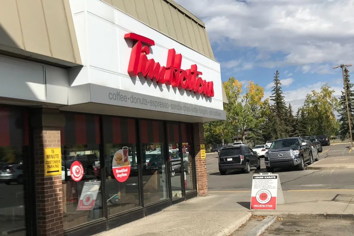
Tim Hortons (11520 Freeport Blvd NE)
An essential fast-casual stop operating in the nearby Freeport commercial node. Offering freshly brewed coffee, specialty hot drinks, breakfast sandwiches, and baked goods, it serves as a daily stopping point for district workers and morning commuters.
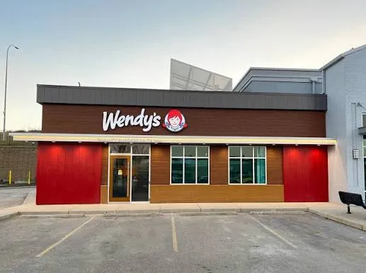
Wendy's (11400 Barlow Trail NE)
A popular quick-service spot situated along the active Barlow Trail commercial strip. Featuring fresh burgers, chicken sandwiches, salads, and Frosty desserts, it provides a fast and convenient lunch option for local employees.
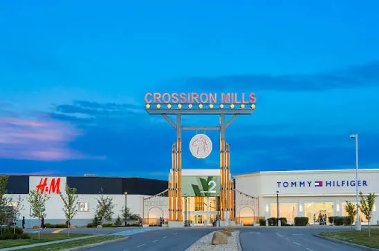
CrossIron Mills (261055 Crossiron Blvd - 8 minutes North)
A massive regional shopping destination located just minutes north of Stoney 2 via Deerfoot Trail. Featuring hundreds of brand-name outlets, dining halls, and entertainment venues, it serves as the primary retail shopping hub for employees and residents in the Stoney district.
What to do in Stoney 2?
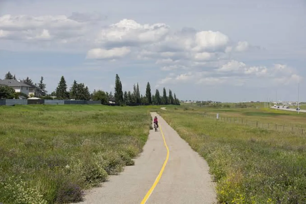
Cycle the Rotary/Mattamy Greenway (Stoney Trail NE Pathway Section)
Stoney 2 connects directly into Calgary’s 138-kilometer continuous pathway network. Cyclists, runners, and walkers can step onto the paved trail along the northern edge of the district for long-distance exercise with wide prairie vistas.
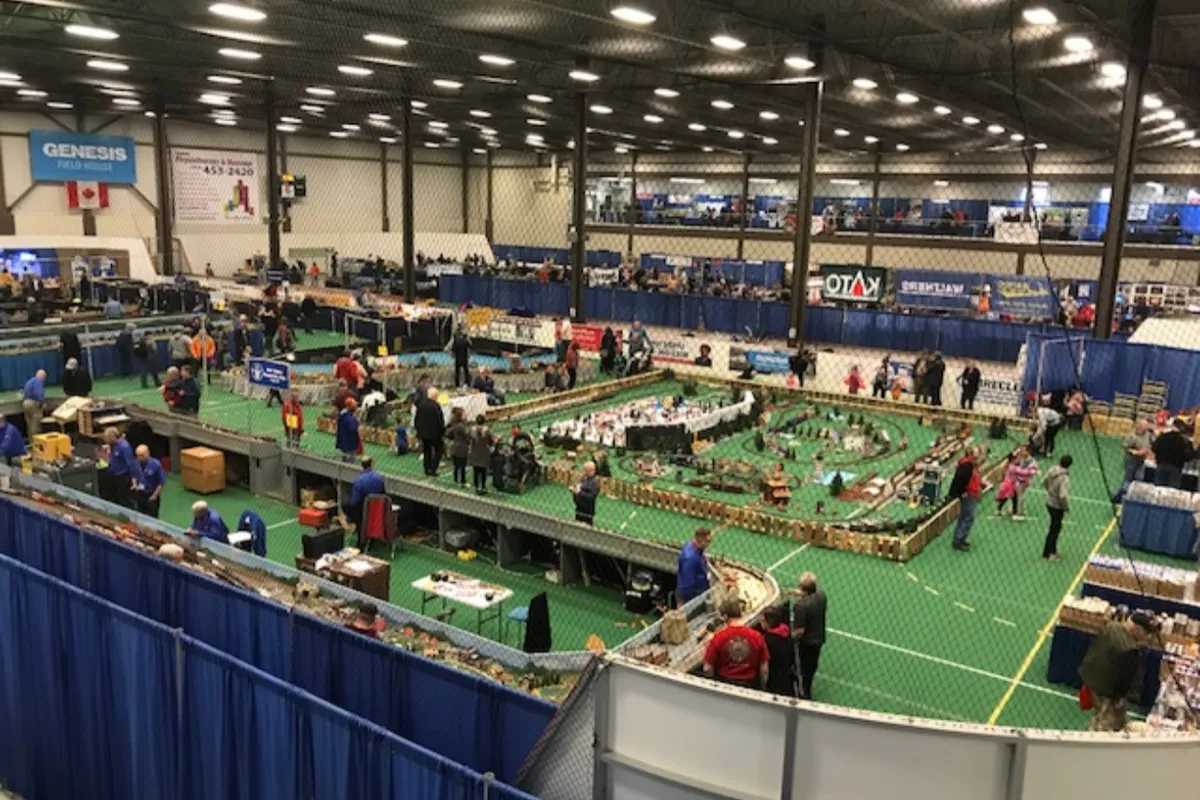
Recreate at Genesis Centre (7555 Falconridge Blvd NE)
Located just an 8-minute drive south of Stoney 2, this massive 250,000-square-foot community complex features indoor soccer turf, gymnasium courts, a fitness center, event halls, and a Calgary Public Library branch.
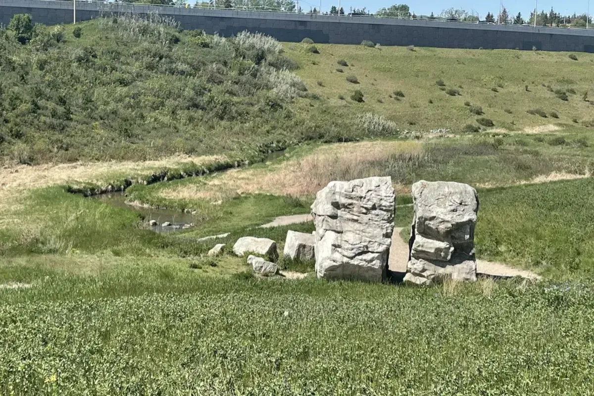
Explore Nose Creek Pathway Network (Deerfoot Link)
Situated just west of the district, this scenic pathway winds along Nose Creek, offering paved trails, wooden bridge crossings, and naturalized parkland ideal for morning runs or evening walks.

Golf at McCall Lake Golf Course (3600 12 St NE)
Located a short drive south, this popular public golf facility features an 18-hole main course, a 9-hole par-3 course, a driving range, and clubhouse dining, offering a convenient outdoor recreational option for local professionals.

Visit the Hangar Flight Museum (4629 McCall Way NE)
Located near the adjacent airport grounds, this aviation museum showcases historical aircraft, interactive aviation exhibits, and Western Canadian aviation history, making it an engaging educational spot for families and visitors.
─ Let's Connect
Ready to Find
Your Perfect Pocket?
Every neighborhood has a rhythm. Let’s talk about which one matches your lifestyle, your commute, and your future.